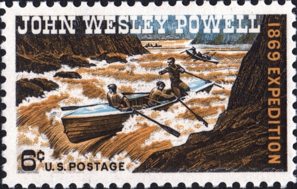
May 24, 1869. Green River Station, Wyoming Territory.
A one-armed Civil War veteran stood at the edge of a swollen river and prepared to do something no American — at least no one who had survived to tell about it — had ever done before. John Wesley Powell, geologist, explorer, and stubborn optimist, was about to lead 10 men and four wooden boats into the last great blank space on the American map.
What followed over the next three months was one of the most audacious and punishing expeditions in the history of exploration. Powell’s journey down the Green and Colorado rivers — through canyons no one had named, past rapids no one had measured, into a void that cartographers simply left empty — stands today as a defining feat of American adventure.
It was science, survival, and sheer willpower compressed into 1,000 miles of whitewater.
A Man Made for Hard Things
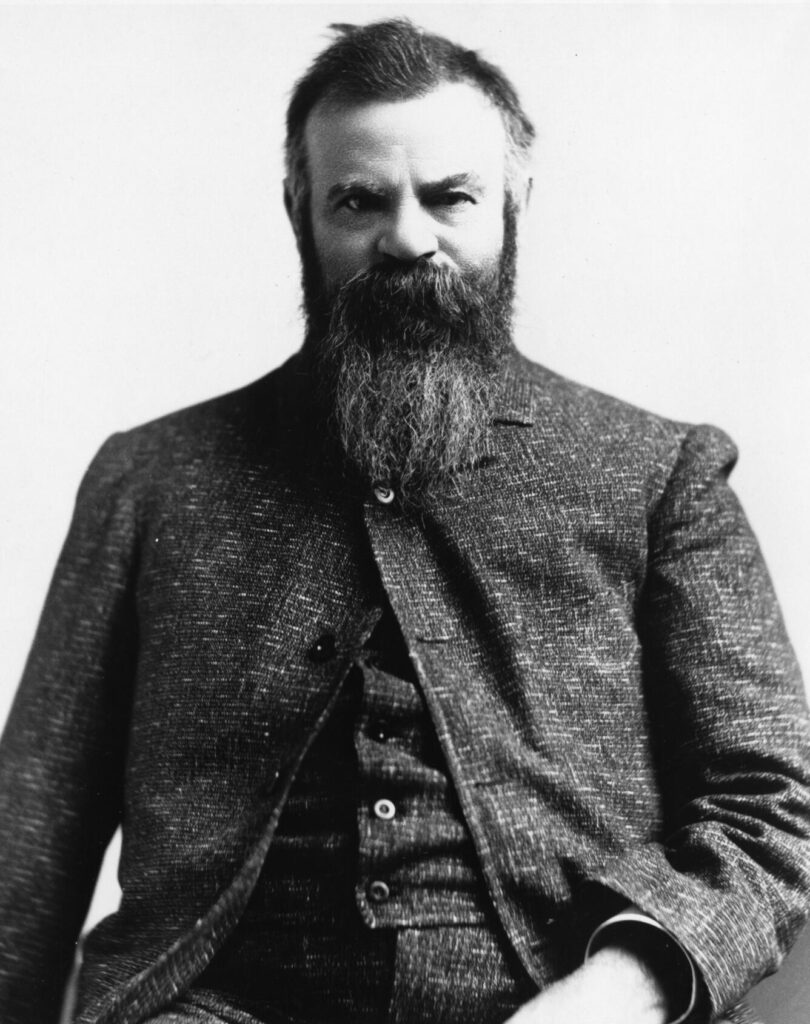
Powell was not an obvious choice for an expedition of this magnitude. He had lost his right arm at the Battle of Shiloh in 1862, but the loss seemed only to sharpen his appetite for challenge.
Before turning his attention to the Colorado River, he had led student geological surveys through the Rockies, scrambling up peaks with a modified harness that allowed him to climb one-handed. He was 35 years old, lean, intense, and utterly convinced that the river could be run.
His crew was a motley collection: veterans, trappers, a printer, and a few men simply hungry for adventure. Most had no real idea what they were getting into.
Neither, truthfully, did Powell — but he had done more homework than anyone alive. He had studied the scattered accounts of trappers, interviewed Ute and Paiute people who lived along the canyon rims, and reasoned that if water flowed in, water flowed out. The river, he believed, could be navigated. He was right. But barely.
The Green River to the Colorado
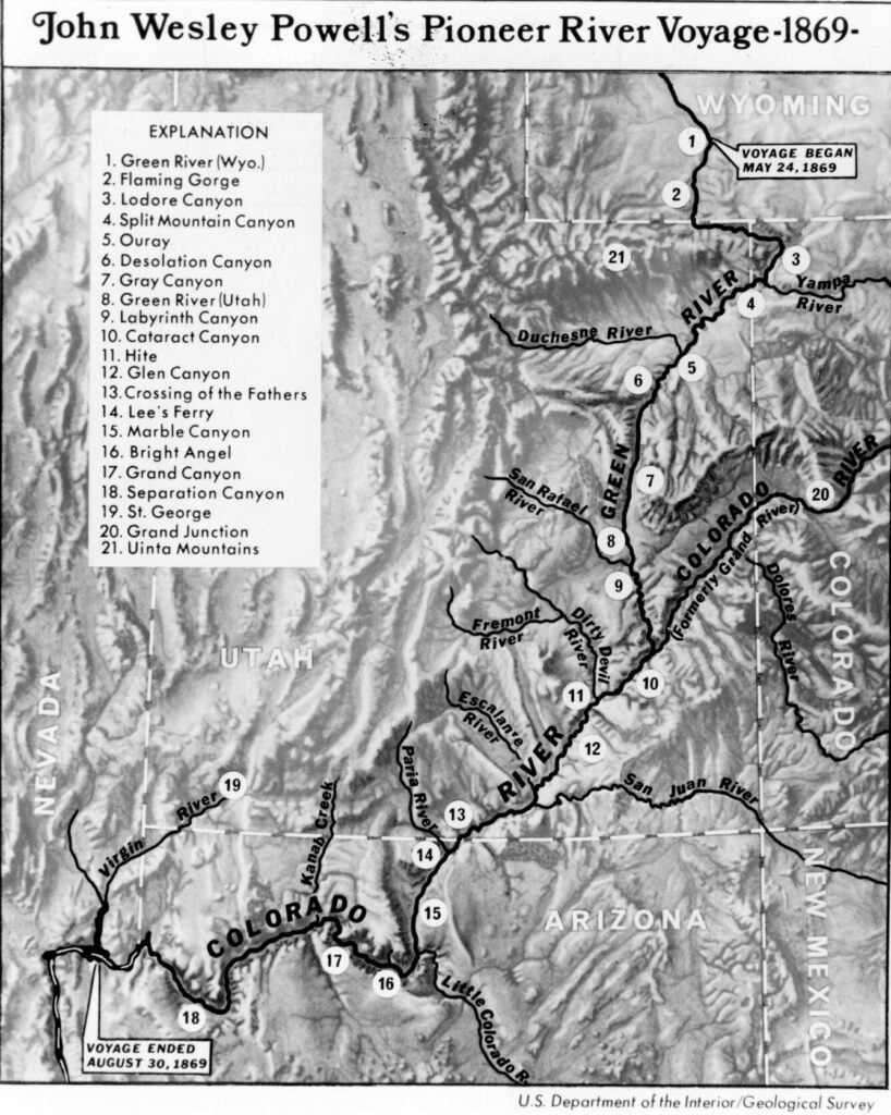
The expedition launched on May 24, 1869, from Green River Station in Wyoming Territory with a small crowd watching from the bank. The boats — three heavy oak “cabin” boats and a lighter pilot craft Powell named the Emma Dean after his wife — were loaded with months of provisions and scientific instruments.
Powell intended to collect rock samples, sketch geological formations, and take careful astronomical readings along the way. He was on an adventure, yes, but he was also conducting science.
The first weeks on the Green River were deceptively gentle. The men fished, explored side canyons, and grew accustomed to the rhythm of the water. Powell spent much of his time perched on a chair lashed to the deck of the Emma Dean, watching the canyon walls rise around him with the focused attention of a man reading a very good book.
The geology was extraordinary — millions of years of Earth’s history laid bare in stripes of red, buff, and gray stone.
Then the canyons deepened. The walls closed in. And the rapids began.
The Colorado’s Fury
Loaded boats and wooden oars were no match for the Colorado’s violence. Time and again, the men faced a choice: attempt a rapid and risk everything, or spend exhausting hours “lining” the boats — lowering them by ropes along the shore while the crew scrambled over boulders. They lost a boat early, shattering it on rocks and watching their supply of barometers and a third of their bacon disappear downstream.
Morale frayed. Provisions dwindled.
Powell was meticulous in his journals, recording the canyon’s grandeur even as the expedition suffered. He named the formations and rapids as he went — Desolation Canyon, Cataract Canyon, Marble Canyon — an act of cartographic ownership that imposed American nomenclature on a landscape that Indigenous people had named in their own languages for centuries before.
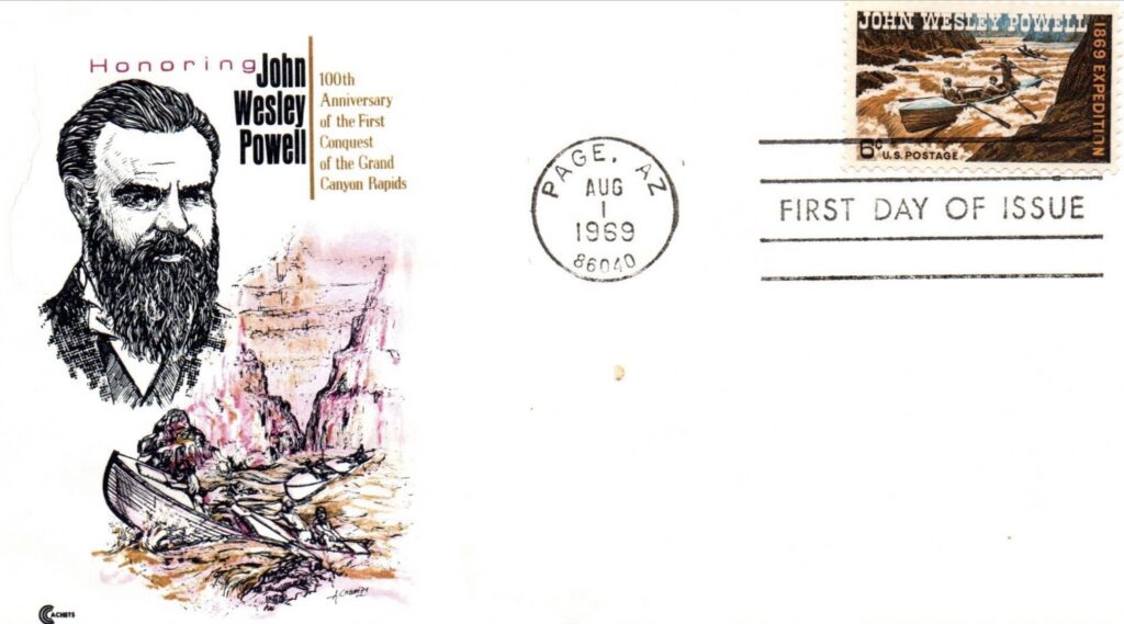
Powell was aware of this complexity in ways that many of his contemporaries were not. He would later become one of the foremost advocates for understanding Native American cultures on their own terms. (In later years, Powell would serve as the second director of the U.S. Geological Survey (USGS) from 1881 to 1894. Concurrently, he was the first director of the Smithsonian’s Bureau of Ethnology from 1879 until his death in 1902. You can find their annual reports here.)
The Grand Canyon itself was the journey’s crescendo. When the walls of Marble Canyon gave way to the full, overwhelming immensity of the Grand Canyon in early August, even the tired, hungry men fell silent.
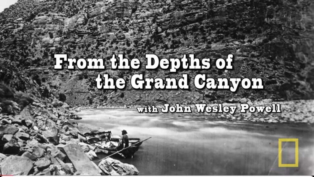
If you would prefer to watch a video about the expedition, there are a couple on YouTube worth mentioning. The illustration is from Nat Geo Live, which runs about 30 minutes. The second is from Arizona State University, and runs about 26 minutes. It is titled: “John Wesley Powell’s 1869 River Mapping: What Did They Know and When Did They Know It?”
The Colorado had cut more than a mile down through the Colorado Plateau, exposing rock nearly 2 billion years old. Powell wrote of it as a world of music, color, and sublime silence — the grandest spectacle on the continent.
The Separation and the Exit
Near the end of the Grand Canyon, three men — the Howland brothers and William Dunn — had had enough. Facing a particularly savage rapid, they concluded that the river would kill them and chose to climb out of the canyon on foot.
Powell and the remaining six pressed on. The three men who left were killed by a band of Shivwits Paiutes shortly after reaching the rim, the circumstances of which Powell spent years trying to understand and document.
The remaining party shot the dreaded rapid and survived. On August 30, 1869, they emerged from the canyon’s mouth near the present-day site of Las Vegas, Nevada, greeted by a group of Mormon settlers who had nearly given them up for dead. The blank space on the map was blank no longer.
The Legacy
Powell’s expedition transformed American understanding of the West. The geological findings alone were monumental, helping establish the science of stratigraphy and inspiring decades of further study.
But Powell himself went further. His later surveys of the arid West produced a landmark 1878 report arguing — decades ahead of his time — that the region’s scarce water resources would determine the limits of settlement, and that development without careful management would end in catastrophe.
He was largely ignored. The Colorado River’s water disputes, its over-allocation, and the strain on its dwindling flow rage on today, and are the direct consequences of the pattern Powell warned against.
Today, standing on the rim of the Grand Canyon and looking down at the thin silver thread of the river more than a mile below, it is impossible not to think of a one-armed man in a wooden boat, a notebook in his lap, watching the walls rise around him and writing it all down.
John Wesley Powell didn’t just travel through the Grand Canyon. He saw it — clearly, scientifically, beautifully — in a way the nation is still working to catch up to.
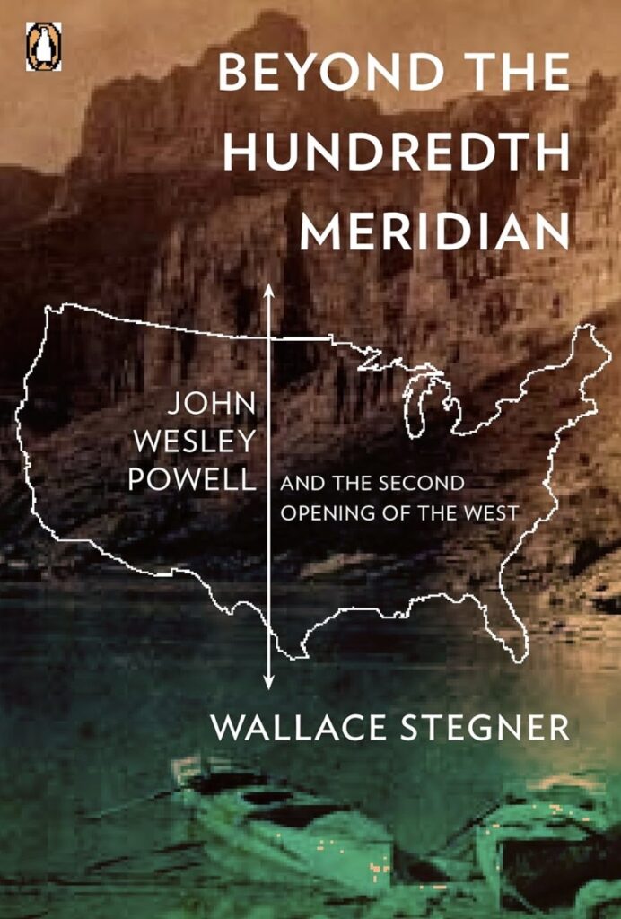
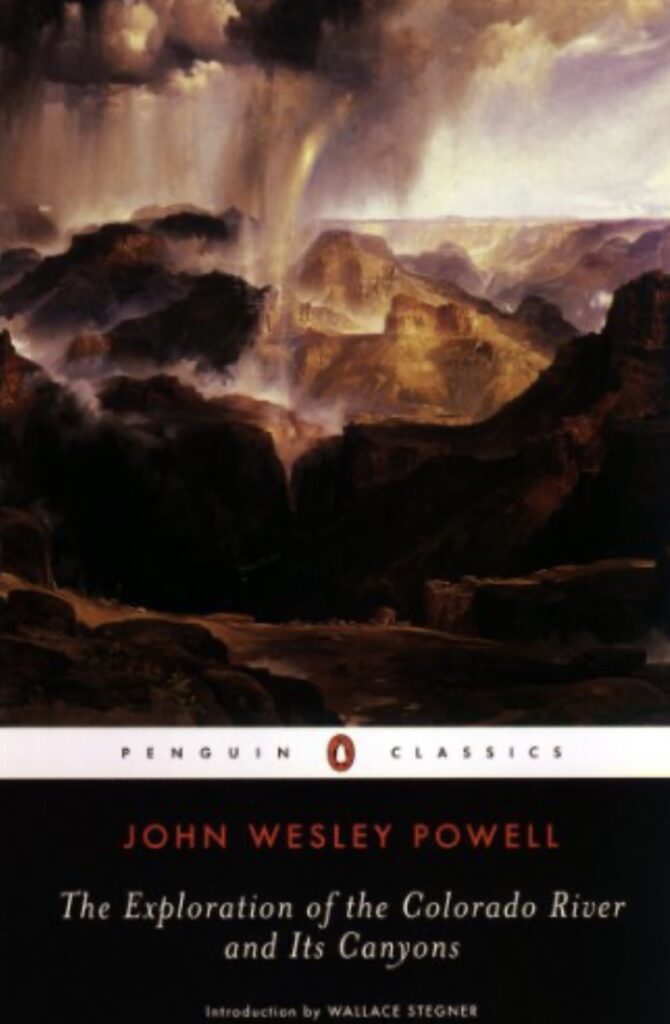
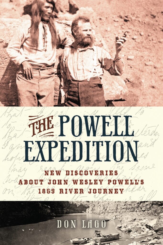
Beyond the Hundredth Meridian is the classic version of the expedition, written by Pulitzer Prize-winning author Wallace Stegner. The Exploration of the Colorado River and Its Canyons is Powell’s own version of the trip. Historians say this work sometimes conflates the events of his first and second trips down the canyon and that he makes a few mistakes. But you can beat it for first-hand color! The third book, The Powell Expedition, is a much newer take on the voyage. I have not read it, but the author had access to documents that Stegner and Powell himself did not have.